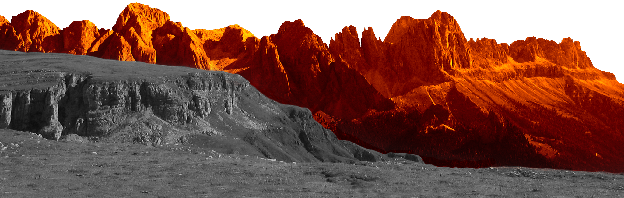
The Sky Marathon Rosengarten Schlern is unique, informal and spectacular. Every year on the second weekend in July, 500 mountain running enthusiasts have the opportunity to spend an unforgettable day in the Dolomites, which were declared a UNESCO World Heritage Site in 2009.
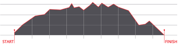
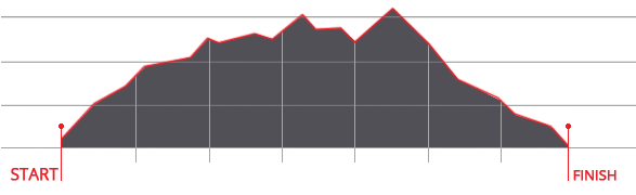
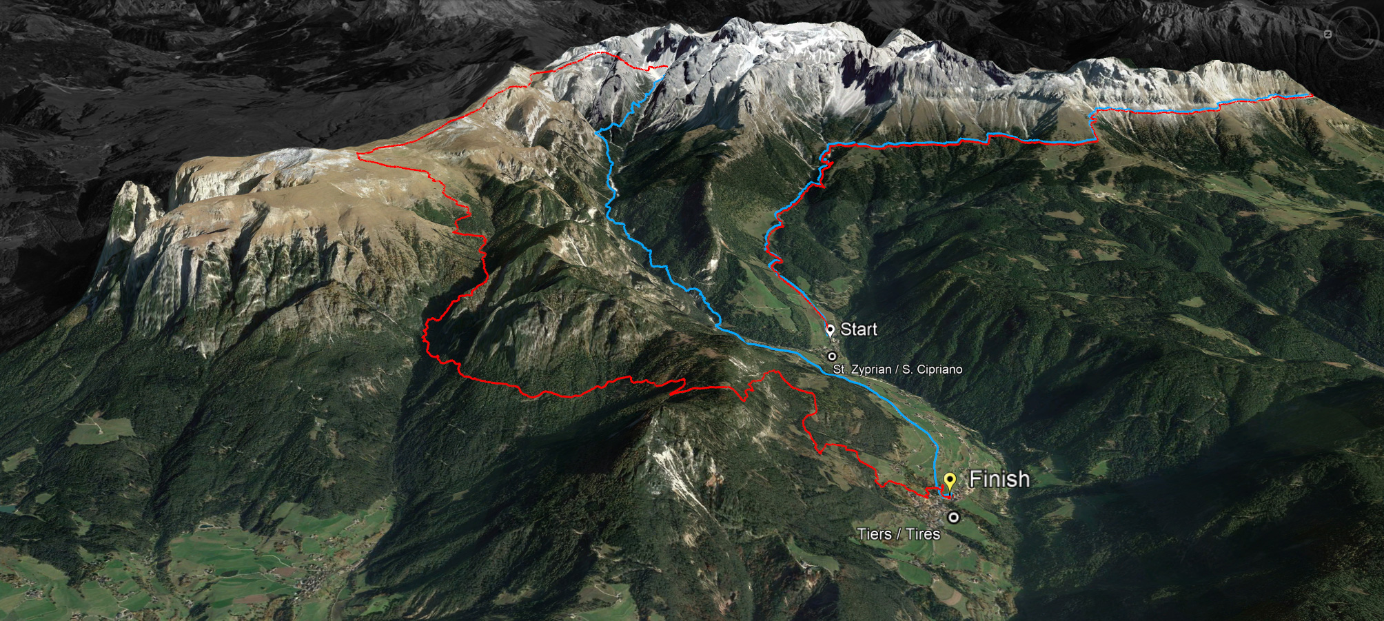
The small mountain village of Tiers in the Alpe di Siusi Dolomites holiday region is transformed into a mecca for trail runners in occasion of the Sky Marathon Rosengarten Schlern. The 45-kilometers route without asphalt and 3.000 meters in altitude is praised by athletes and amateur athletes alike. "It's one of the most beautiful routes around the world and I always enjoy coming back to Tiers," says vice trail running world champion Andreas Reiterer from Hafling in South Tyrol; he holds the course record in Tiers with a time of 4:48.24.7 from 2021.
While the athletes run the long course in five to six hours, the top time limit for the race is set at ten hours. Anyone who has not crossed the finish line by 5 p.m. will not be classified. For safety reasons, the recommended guideline for all participants is to be at the checkpoint at Cigolade Pass by 12.00 noon at the latest. Runners on the long course, on the other hand, must have passed the checkpoint in the Grasleiten basin by 12.30 pm; if this is not the case, the course marshals can be informed of the start number in order to be included in the classification for the short course and not be disqualified.
The run leads through nature park terrain, the throwing away of garbage is strictly prohibited. To avoid rubbish at the refreshment stations along the route, each athlete should bring their own drinking cup.
Runners who have reached the age of eighteen on the day of the race and can present a valid sports medical certificate will be admitted.
The Sky Marathon Rosengarten Schlern is not a mass event, but an insider tip for nature lovers. Registration for the 7th edition on July 13, 2024 opens on January 1st 2024.


 We use cookies