



Start: 7.00 am
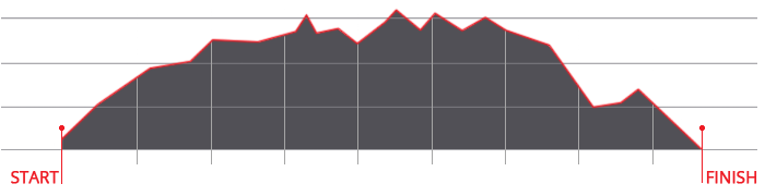
Ascent: ca. 2.980 m
Descent: ca. 3.083 m
Entry fee: Euro 80,00 bv 31 May | Euro 95,00 from June 1
Course record: 4:48.24.7 (men) 6:09.24.9 (women)
Download GPX-Track
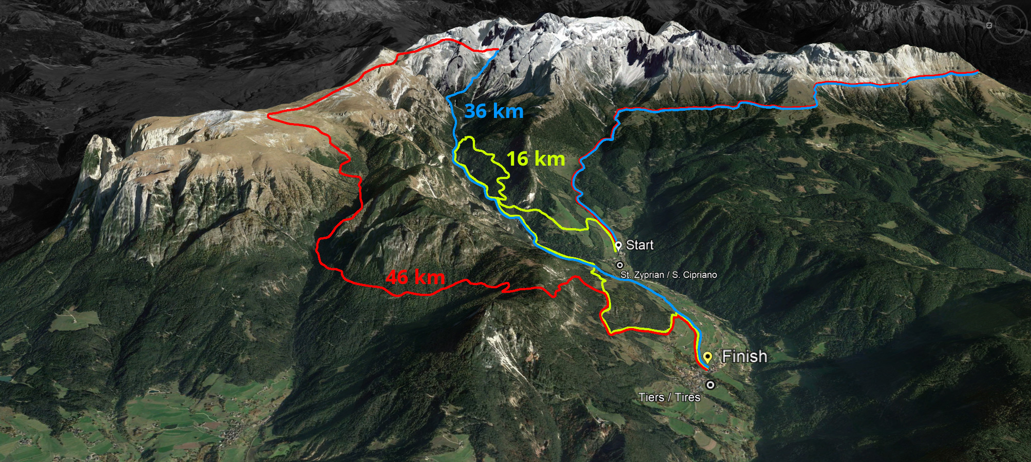
The route of 46 kilometres (red) with a 2,980 metre ascent and a 3,083 metre descent leads over the Cigolade Pass (variant towards Ciamedie and Gardeccia if unviable), the Passo Principe/Grasleitenpass and the Molignon Pass to the Sciliar; after the Devil's Gorge - also known as the Prügelweg – a final ascent leads up to the Tschafon before the finish line in the centre of the village of Tiers.
Due to its length and the difference in altitude athletic preparation and a head for heights are prerequisites. The name "Sky Marathon" describes the length and alpine characteristics of the trail run at over 2,000 metres. 


 We use cookies