Main Sponsor
Main Partner


Gold Sponsor


Silver Sponsor


Bronze Sponsor


Local Partner

Start: 7.00 am
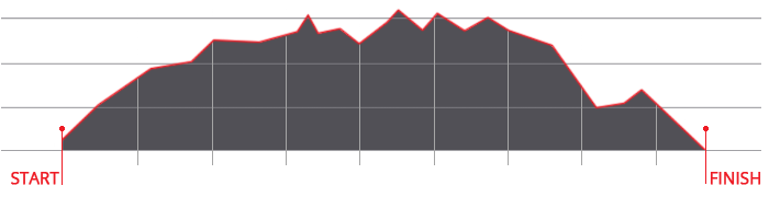
Ascent: ca. 2.980 m
Descent: ca. 3.083 m
Download GPX-Track
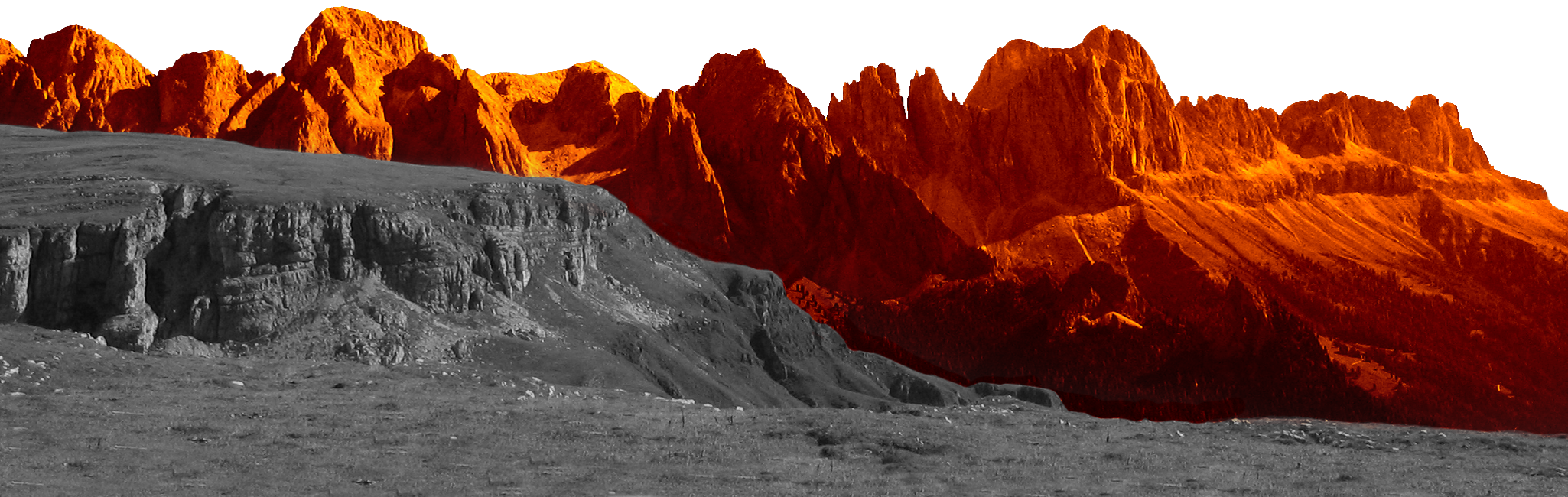
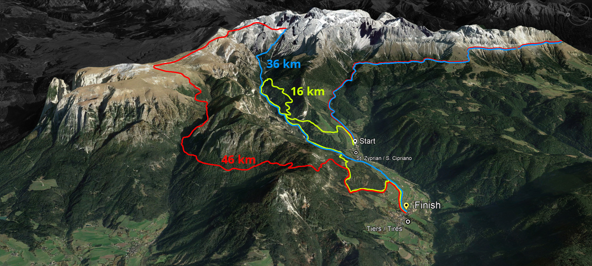
The route of 46 kilometres with a 2,980 metre ascent and a 3,083 metre descent leads over the Cigolade Pass (variant towards Ciamedie and Gardeccia if unviable), the Passo Principe/Grasleitenpass and the Molignon Pass to the Sciliar; after the Devil's Gorge - also known as the Prügelweg – a final ascent leads up to the Tschafon before the finish line in the centre of the village of Tiers.
Due to its length and the difference in altitude athletic preparation and a head for heights are prerequisites. The name "Sky Marathon" describes the length and alpine characteristics of the trail run at over 2,000 metres. 
Start: 7.00 am
Ascent: ca. 1.908 m
Descent: ca. 1.935 m
Download GPX-Track
The Sky Trail stretches over 36 kilometres with 1,908 metres of ascent and 1,935 metres of descent. It follows the same route as the Sky Marathon around the Rosengarten massif until the highest peak, Passo Principe/Grasleitenpass. Then it leads down to the Rufugio Bergamo/Grasleitenhütte, through Ciamin Valley/Tschamintal, Lavina Bianca/Weißlahnbad e Oberstraße back to the centre of the village of Tiers.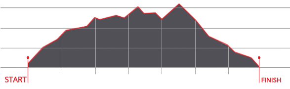
Start: 9.00 am
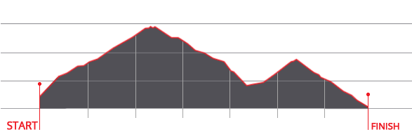
Ascent: ca. 770 m
Descent: ca. 900 m
Download GPX-Track
The Sky Run (max. 100 bibs) loops through the Ciamin valley to Rechten Leger and then leads back to the village of Tires via Wuhn Leger and St. Sebastian.


 We use cookies
