



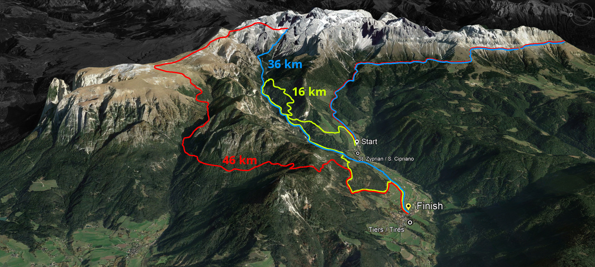
Start: 7.00 am
Ascent: ca. 1.908 m
Descent: ca. 1.935 m
Entry fee: Euro 75,00 by 31 May | Euro 90,00 from 1 June
Course record: 3:25.28.2 (men) 4:18.21.2 (women)
Download GPX-Track
The Sky Trail (blue) stretches over 36 kilometres with 1,908 metres of ascent and 1,935 metres of descent. It follows the same route as the Sky Marathon around the Rosengarten massif until the highest peak, Passo Principe/Grasleitenpass. Then it leads down to the Rufugio Bergamo/Grasleitenhütte, through Ciamin Valley/Tschamintal, Lavina Bianca/Weißlahnbad e Oberstraße back to the centre of the village of Tiers.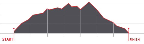


 We use cookies