


long, hard, fantastic
Welcome in Tiers at the Rosengarten in the holiday region Seiser Alm - South Tyrol - Dolomites.
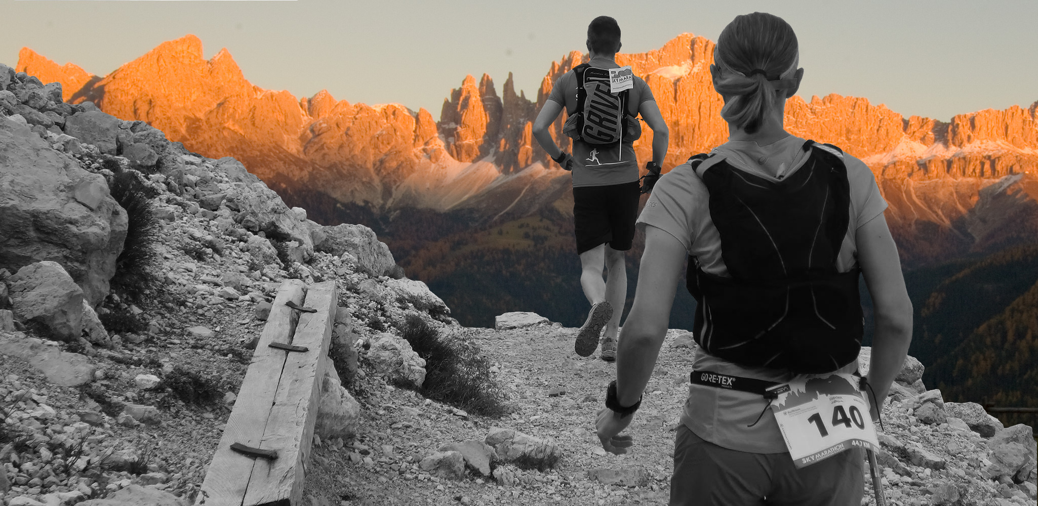
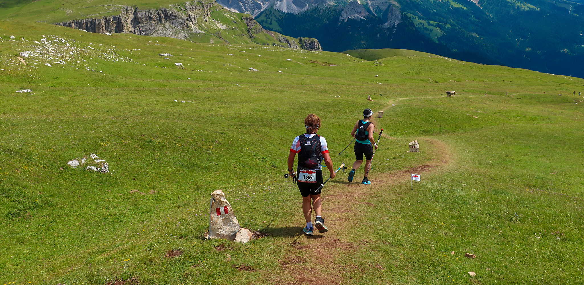
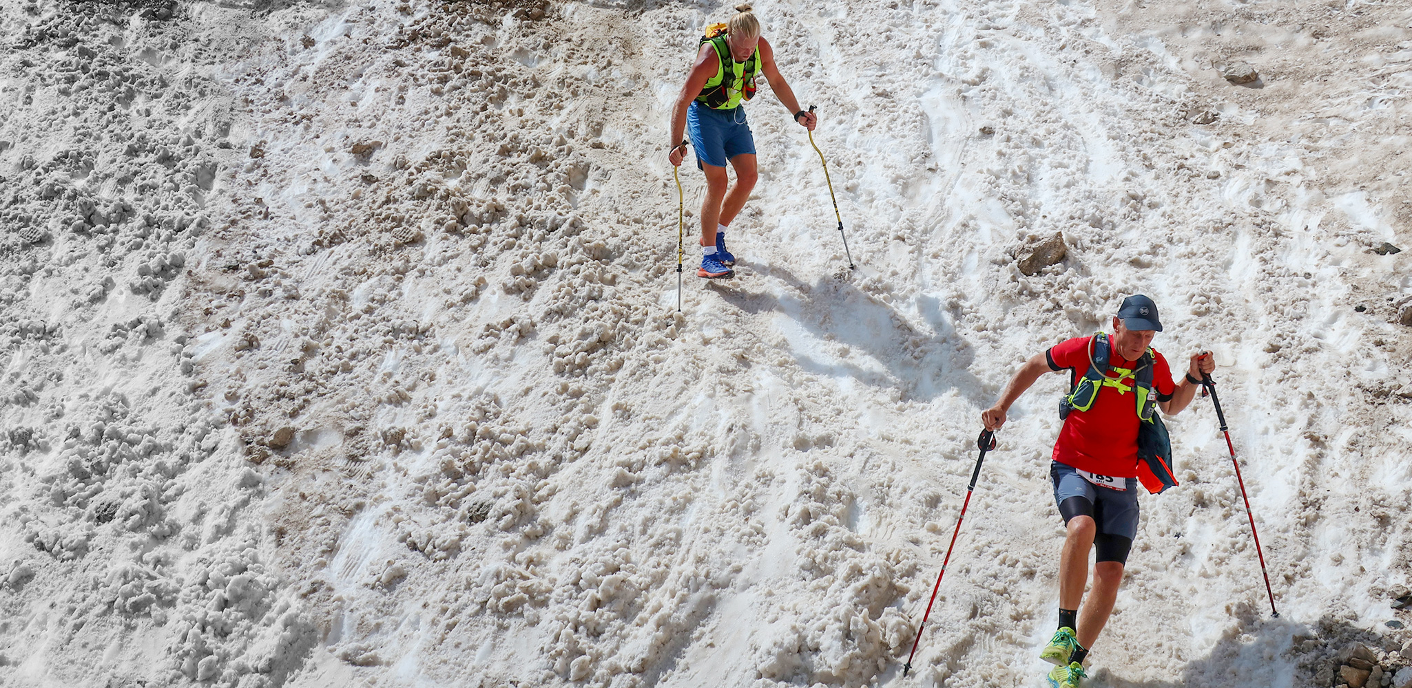
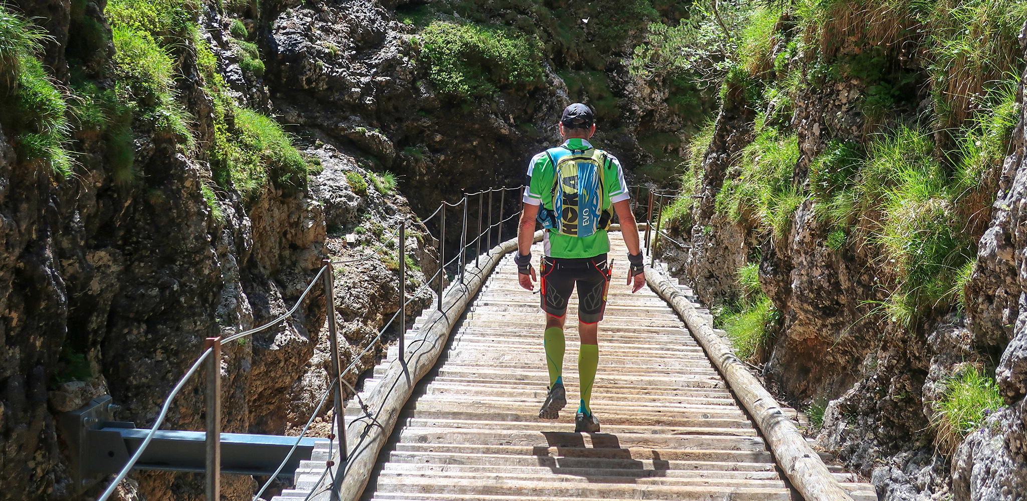
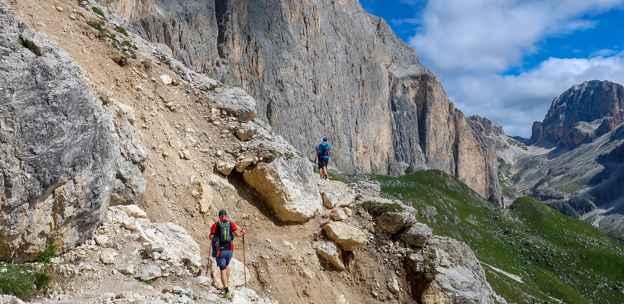
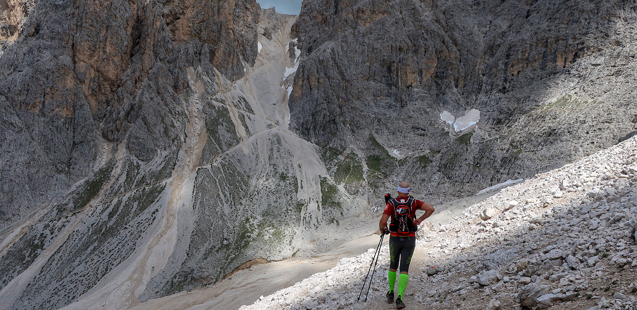
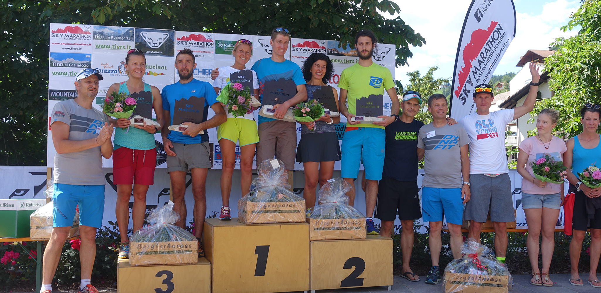
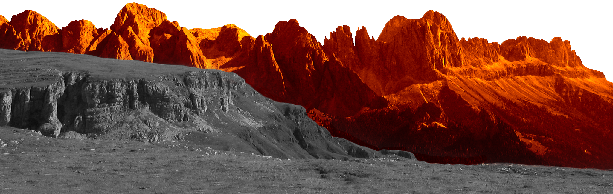
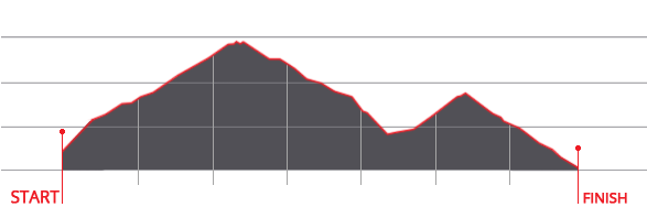
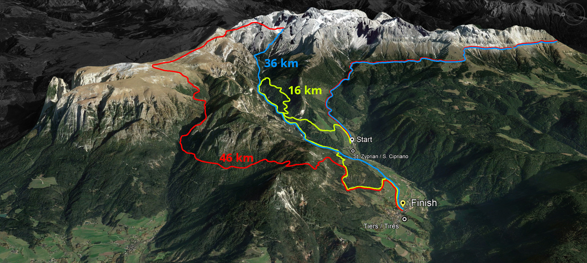
The Rosengarten Schlern Sky Marathon is a marathon run in alpine terrain around the Rosengarten massif. The start is in St. Zyprian/Tiers at about 1.100 m.a.s.l. The highest peak is the Passo Principe/Grasleitenpass with 2.610 metres above sea level. The Rosengarten Schlern Sky Marathon takes place in a unique setting in the heart of the Dolomites UNESCO World Natural Heritage Site and is aimed at all nature and running enthusiasts with the required athletic preparation.
Facts & Figures
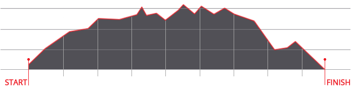
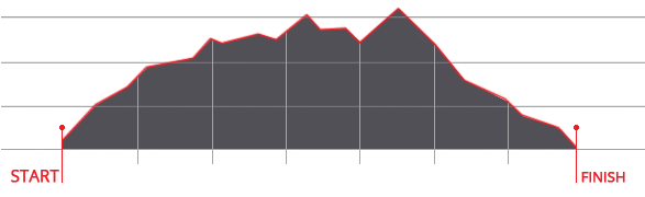
- 3 routes
- Sky Marathon 46 km | Sky Trail 36 km | Sky Run 16 km
- 3.000 d+ | 2.000 d+ | 800 d+
- Time limit: max. 10 hours
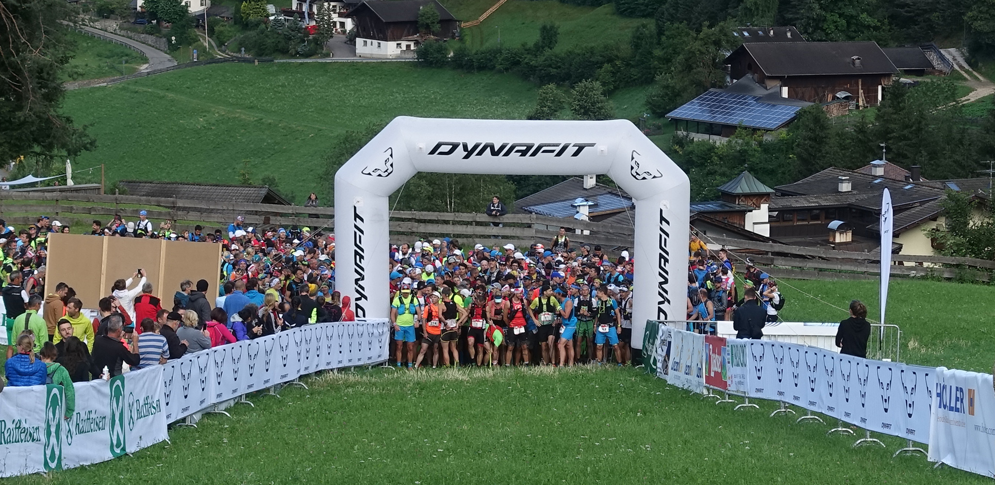
- Start: Tiers / St. Zyprian
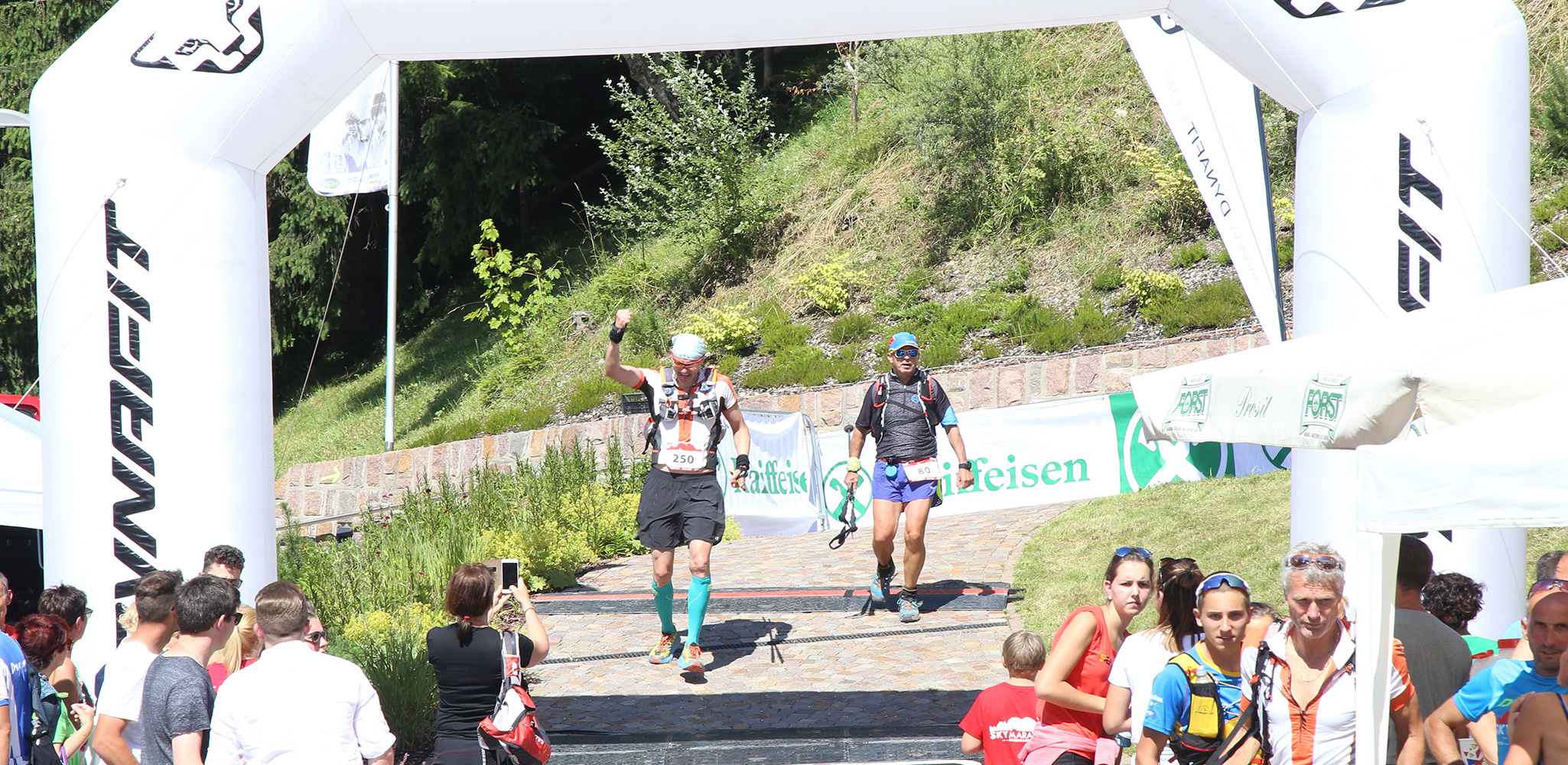
- Arrival / Award Ceremony: Tiers / Centre


 We use cookies