

Responsibility data treatment:
The information provided on this website has been carefully checked and is regularly updated. Nevertheless, no guarantee can be given that the information provided on this website is complete, accurate and up to date at all times. This also applies to all connections ("links") to which this website refers directly or indirectly. For the content of these pages the provider of the respective website holds the sole responsibility. The owner of this website is solely responsible for all content on this website (including text and images).Image source:
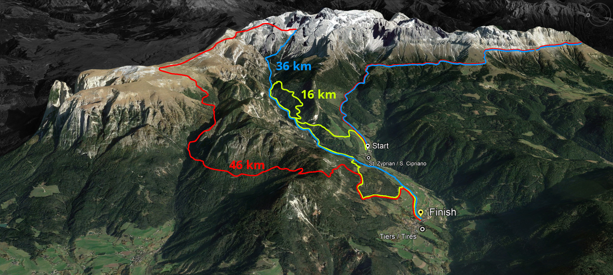
private collection, Klaus Geiger, google mapResponsibility of contents:
Tourism Association TiresS. Georg Street 79
39050 Tiers
This email address is being protected from spambots. You need JavaScript enabled to view it.
VAT: IT00895570216
Concept, programming & design:
Geiger Webdesign
FlyCam & 360° Virtual Tours
Michaelerweg 1
39056 Welschnofen (BZ)
Tel.: +39 348 5408845
This email address is being protected from spambots. You need JavaScript enabled to view it.
www.geiger-webdesign.com


 We use cookies