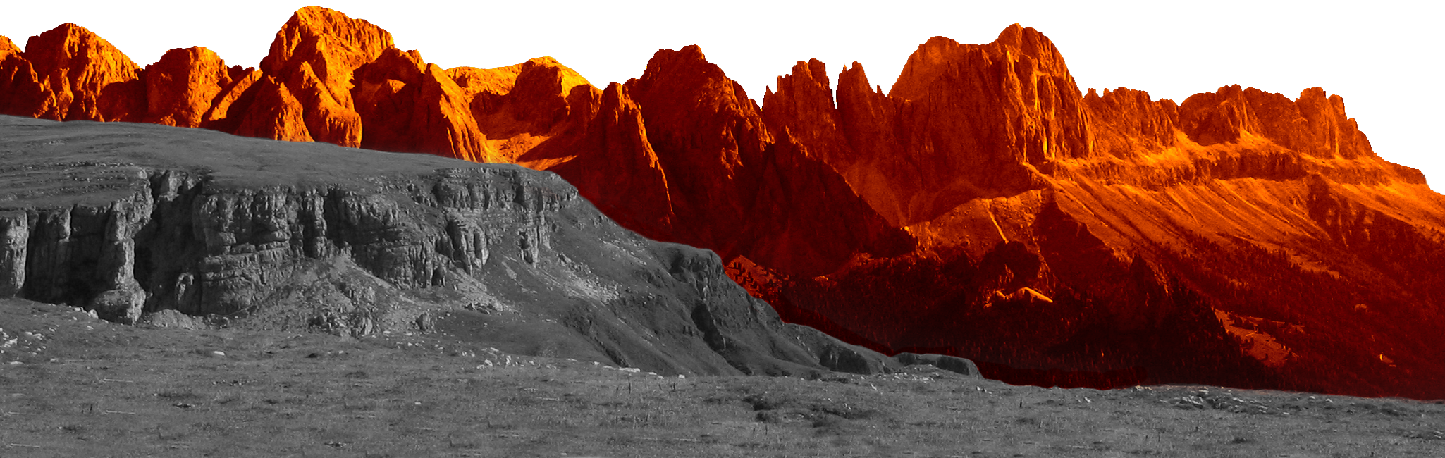
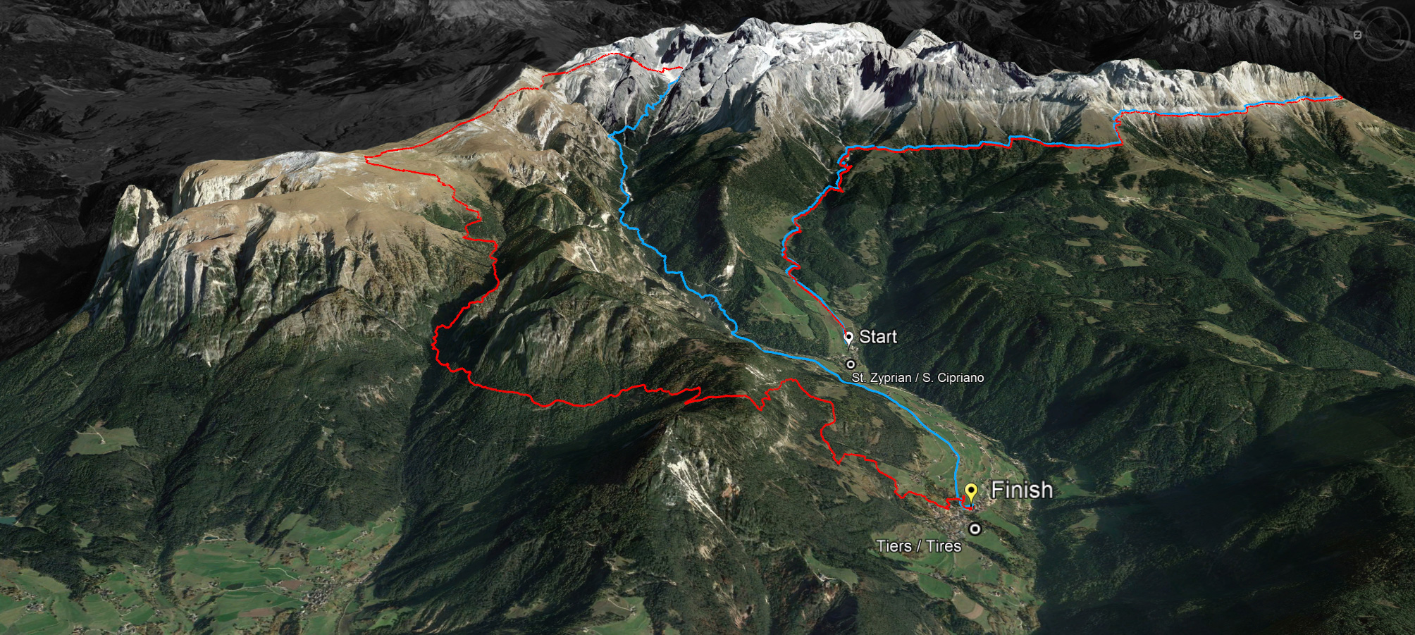
457 local, national and international trail runners came together on 8 July 2023 at the Skymarathon Rosengarten-Schlern in Tiers/South Tyrol/Italy. The trail run, supported by Dynafit and highly praised by the athletes, leads around the Rosengarten massif, on towards the Schlern and over Tiers' local mountain Tschafon back to the village centre.
"Mega course, cool", "unbelievable scenery, I'm speechless" were the comments of the two winners on the short course, where there were two new course records: Hannes Perkmann from Sarntal with a time of 3:25.28.9 and the Swiss Anne-Catherine Rigort with a time of 4:18.21.9.
"This is one of the most beautiful routes ever and I always like to come back to Tiers," said the newly crowned vice world champion in trail running Andreas Reiterer, who won the race on the 45 km without asphalt with a time of 4:58.50.6.
The fastest lady on the 45km was XY with a time of 6:18. 51,2 closely followed by Edeltraut Thaler 6:19.21.7, both of whom beat the 2021 course record.
Athletes from 24 nations competed in optimal weather conditions. Visibly relieved that the sixth edition in a row went out without incidents and with much praise for the organizers, OC head Bernhard Rieder said: "I am overjoyed with the course of the race and thank the OC team, the sponsors and the many volunteers, without whom such an event would not be possible. With an upper limit of 500 runners, the Rosengarten Schlern Skymarathon will always remain small but fine and we are already looking forward to the next edition on 13 July 2024."
Here you can find all results

45 km
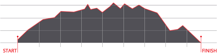
LONG ROUTE
Ascent: ca. 2.980 m
Descent: ca. 3.083 m
Download GPX-Track
The long route of 45 kilometres with a 2,980 metre ascent and a 3,083 metre descent leads over the Cigolade Pass (variant towards Ciamedie and Gardeccia if unviable), the Passo Principe/Grasleitenpass and the Molignon Pass to the Sciliar; after the Devil's Gorge - also known as the Prügelweg – a final ascent leads up to the Tschafon before the finish line in the centre of the village of Tiers.
Due to its length and the difference in altitude it is a mountain marathon. The name "Sky Marathon" describes the length and alpine characteristics of the trail run at over 2,000 metres. 


 We use cookies